
Hike · Hawaiʻi Kai
Koko Head Hike: 1,048 Steps Up Koko Crater
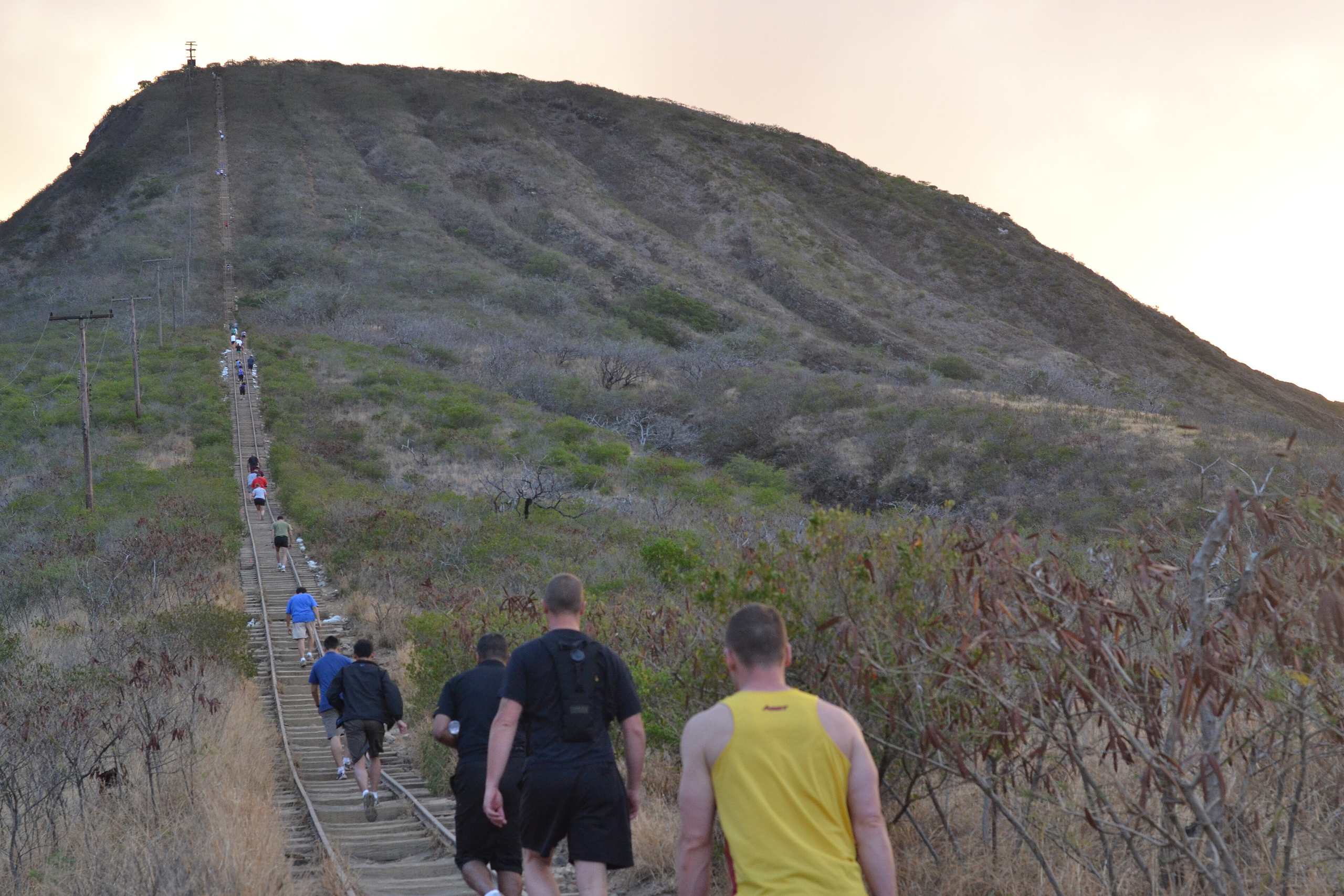
The Koko Head stairs are an old military tramway: 1,048 railway ties running straight up the side of Koko Crater from a City park in Hawaiʻi Kai. No switchbacks, little shade, and a view of Oʻahu’s southeast corner from the top. Here is where to park, how the climb goes, why the rails are there, and what sends hikers home in a helicopter.
Some links on this page are affiliate links. If you book or buy through them, we may earn a commission at no extra cost to you.
Quick Answer
The trail starts in Koko Head District Park, 423 Kaumakani Street, Hawaiʻi Kai, about 30 minutes from Waikīkī without traffic. The park is open 4 a.m. to 11 p.m. daily and a timed gate closes it overnight. The City counts 1,048 steps and publishes no distance or time. Park in the park, not on the neighborhood streets, carry more water than you think, and stay off the bunkers at the top.
Koko Head Stairs at a Glance
The City calls the tramway the second most popular hiking destination on Oʻahu, behind the Diamond Head State Monument (DPR). Unlike Diamond Head, which takes a reservation, it is a park trail you walk into, and the City is candid about what it is: “While the tramway was not intended to be a public recreational hike, the community has made it clear that this summit access is a resource they want to maintain” (DPR, 2021).
Nobody official has measured the trail for hikers. The City counts the ties and stops there, and the hiking sites that rank for it disagree by more than half a mile and about 270 feet of climb. The map at the top of this page counts the steps and nothing else for that reason.
| Detail | Koko Head stairs |
|---|---|
| City name | Koko Crater Tramway, in Koko Head District Park |
| Trailhead | 423 Kaumakani Street, Honolulu 96825 (Hawaiʻi Kai) |
| Steps | 1,048 railway ties, per the City |
| Park hours | 4 a.m. to 11 p.m. daily; gate closed 11 p.m. to 4 a.m. |
| Distance and gain | The City publishes none. Hiking sites range from 0.8 to 1.5 miles and about 930 to 1,200 feet |
| Managed by | City Department of Parks and Recreation; volunteers from the Kokonut Koalition maintain the ties |
Getting There and Where to Park
By our measurement the trailhead is about 11.5 miles from central Waikīkī, around 30 minutes on the H-1 and Kalanianaʻole Highway without traffic. Turn mauka into Hawaiʻi Kai and enter Koko Head District Park; the tramway starts at the mauka end of the park, off Koko Head Park Road.
Park in the park’s lot. Until late 2023 the park gate did not open until 6:30 a.m., so sunrise hikers parked along the residential streets by the Anapālau Street entrance, which brought noise and parking problems to the neighbors. Since mid-December 2023 a timed gate opens at 4 a.m. and closes at 11 p.m. (DPR), and the park’s listed hours match. The point of the gate is to keep cars off those streets, so use the lot.
TheBus does not get you close from Waikīkī (TheBus schedule data). The two routes that stop nearest the park, on Kaumakani Street, are weekday commuter expresses (80 and PH6). The nearest all-day route, the 1, stops on Lunalilo Home Road about half a mile away in a straight line, and none of these runs through Waikīkī, so a bus trip means a transfer and a walk through the park.
- Car tip: our guide to renting a car on Oahu covers pickup spots and what to skip at the counter.
Rental car
The easiest way to the trailhead
No bus from Waikīkī reaches the park directly, and Hanauma Bay, Hālona and Makapuʻu are all a short drive down the same coast. Compare Oahu rental cars on DiscoverCars.
We may earn a commission if you book through this link, at no extra cost to you.
The Climb: Ties, the Bridge and the Platform
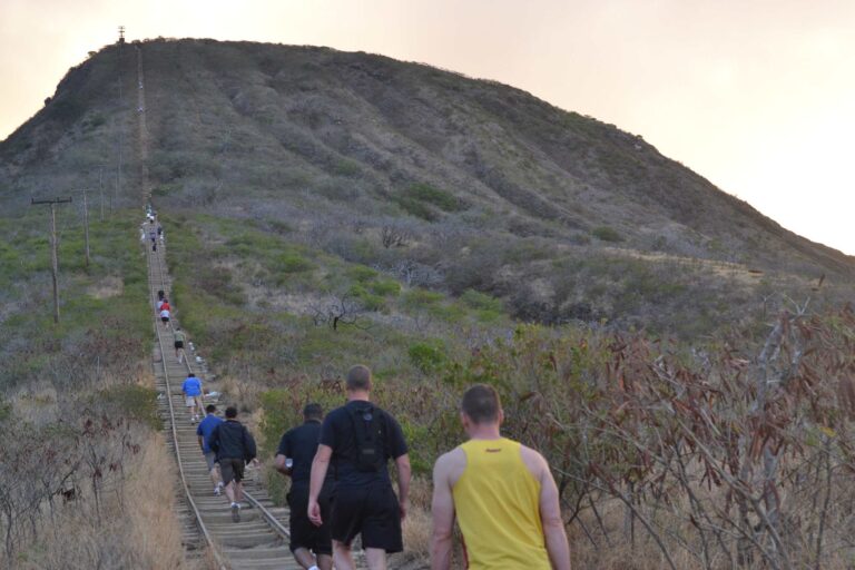
The route is the old rail bed, so it goes straight up the crater wall with no switchbacks. In January 2021 the City said only about a third of the 1,048 ties were still in working shape (DPR). Over the next ten months volunteers put in about 6,000 hours, hauled nearly 608,000 pounds of supplies up the slope and set hundreds of new ties by hand; a blessing on October 28, 2021 marked the end of that first round (DPR). The City put in about $100,000 and the volunteers raised about $120,000.
Partway up, the tracks cross a gap on a trestle, the part hikers call the bridge. The City has posted warning signs there (DPR), and a side path mapped on OpenStreetMap as Murphy’s Bypass leaves the tramway and rejoins it around the trestle, for hikers who would rather not cross it.
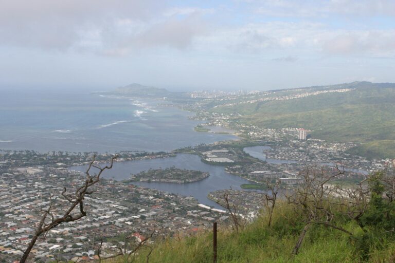
At the top is a steel viewing platform the City installed in 2023 to replace the old metal grate of the radar days: about 71 square feet of flat deck with a railing and its own short stairway, a $426,800 project that opened on June 29, 2023 (DPR). The City’s description of the view is “exceptional 360-degree views of Oʻahu’s southeast corner.”
Why There Are Rails on a Crater
The U.S. military built the tramway in 1942 to haul cargo and people up to a radar station on the summit of Koko Crater, which the City also calls Kohelepelepe (DPR). The Hawaiʻi Air National Guard later ran a radar site up there as part of the islands’ air defense, with personnel and supplies riding “up the side of the crater on a tram run on those tracks” (State Department of Defense). Its squadron moved to Wheeler Air Force Base on July 1, 1965.
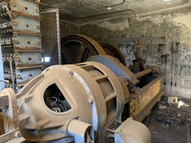
When the military left, it took the equipment and left the rest: concrete and steel structures on the summit, the track and trestles, and the tramway hoist, abandoned in place. The City took over the structures in 1966 (DPR). Those summit structures are the bunkers in the next section.
Heat, Rescues and the Summit Bunkers
The Honolulu Fire Department posted at least 14 rescue releases for this trail in 2025 and 13 more in 2026 through September 9 (HFD). The pattern in them is plain: a hiker partway up or at the top feels sick, dizzy or hurt, crews climb on foot while another unit sets up a landing zone, and the patient often leaves by helicopter. On September 9 it was a woman in her 20s at the summit, flown out at 12:06 p.m. (HFD). The slope has little to no shade (The Garden Island, 2025).
The summit has a second hazard. On July 5, 2025, an 8-year-old boy got into a bunker access point at the top and fell about 20 to 40 feet. The City closed the tramway, put caution tape and barriers on three access points it found, and reopened on July 10 with a reminder to “stay on the tramway and follow the warning signs and caution tape” (DPR). Use the platform for the view and keep off the bunkers.
- Know your limit. HFD’s first piece of hiking advice is a straight read of your own fitness.
- Carry water and a charged phone. Plus sun protection: hat, sunglasses, sunscreen.
- Bring a partner and a light. HFD also lists a flashlight and a whistle, and reading the trailhead signs (HFD outdoor safety).

Koko Head Stairs: Guided Climb, Pickup in Waikiki
★★★★★ 5 · 16 reviews · From $155
Check AvailabilityWe may earn a commission if you book through this link, at no extra cost to you.
Pair It With the Southeast Shore
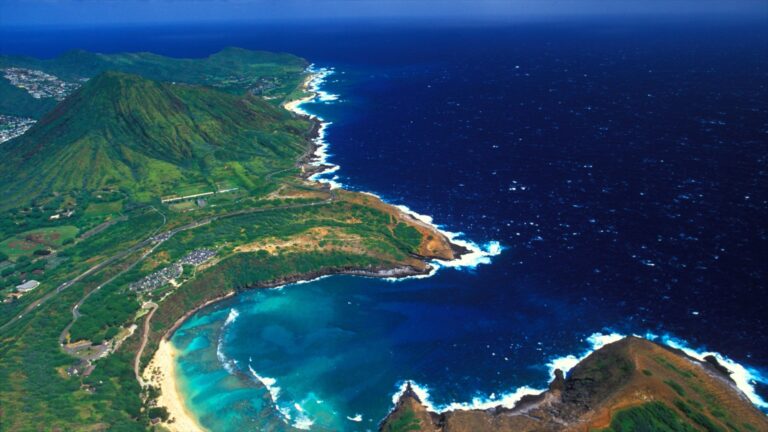
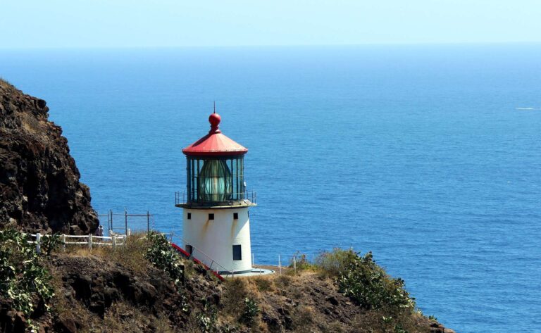
The tramway sits at the start of the southeast shore, so the rest of the morning is close. Hanauma Bay is next door, but it needs a reservation and the City closes it to the public on Mondays and Tuesdays (DPR). Down the coast are Hālona Blowhole Lookout and Sandy Beach Park, then the Makapuʻu Lighthouse Trail, a gentler paved climb. On the far side of the crater, Koko Crater Botanical Garden is a City garden; check the Honolulu Botanical Gardens page for its hours before you go.
Our east side Oahu drive strings all of these into one coastal loop, and the things to do on Oahu guide has the rest of the island. To fit the climb into a full trip, the Oahu Itinerary Builder will sequence it with your other days.
Koko Head Hike: Questions
How many steps is the Koko Head hike?
1,048, according to the City: the trail climbs the 1,048 wooden ties of a World War II-era tramway.
What are Koko Head District Park’s hours?
4 a.m. to 11 p.m. daily. A timed gate closes the Anapālau Street entrance from 11 p.m. to 4 a.m.
Where do you park for the Koko Head stairs?
In the Koko Head District Park lot at 423 Kaumakani Street, not on the nearby residential streets. The timed gate was added in 2023 to move sunrise hikers into the park.
Is there a way around the Koko Head bridge?
Yes. A side path mapped as Murphy’s Bypass leaves the tramway and rejoins it around the trestle.
How long is the Koko Head hike?
The City publishes no distance or time, only the 1,048 steps. Hiking sites put it between 0.8 and 1.5 miles, which shows how rough those figures are.
Can you take TheBus to Koko Head?
Not directly from Waikīkī. The nearest stops are weekday express routes on Kaumakani Street; the nearest all-day route, the 1, stops on Lunalilo Home Road, about half a mile away.
Who built the Koko Head tramway?
The U.S. military, in 1942, to supply a radar station on the summit. The City took over the structures in 1966.
Sources, checked Oct 12, 2026
- Koko Head District Park record, hours (City and County of Honolulu)
- City park directory (DPR)
- Timed vehicle gate at Koko Head District Park (DPR, Nov 30, 2023)
- Partnership to fix the Koko Head tramway (DPR, Jan 11, 2021)
- Blessing marks completion of initial repairs (DPR, Oct 28, 2021)
- Summit viewing platform project (DPR, Jun 2023)
- Tramway closure for bunker sealing (DPR, Jul 2025)
- Koko Head Air Force Station history (State of Hawaiʻi DOD, 2017)
- Rescues on the Koko Head Crater Trail (Honolulu Fire Department)
- Outdoor safety (Honolulu Fire Department)
- New warning signs at Koko Crater stairs (The Garden Island, Jul 17, 2025)
- Hanauma Bay closed Mondays and Tuesdays (DPR, Aug 2026)
- TheBus GTFS schedule data (feed from Aug 9, 2026)
- Murphy’s Bypass (OpenStreetMap)
Researched from the sources above, checked Oct 12, 2026. We never claim a visit we did not make; first-hand notes are marked as Stew’s. How we research and review.
Leave a Reply